Nice post Covid ride
Kawhia Loop Aug '20
Otororhanga to Kawhia return
August 21st 2020
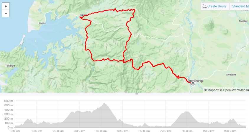
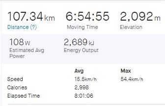
Distance: 107km Moving time: 6hrs 54 Ascent: 2092m
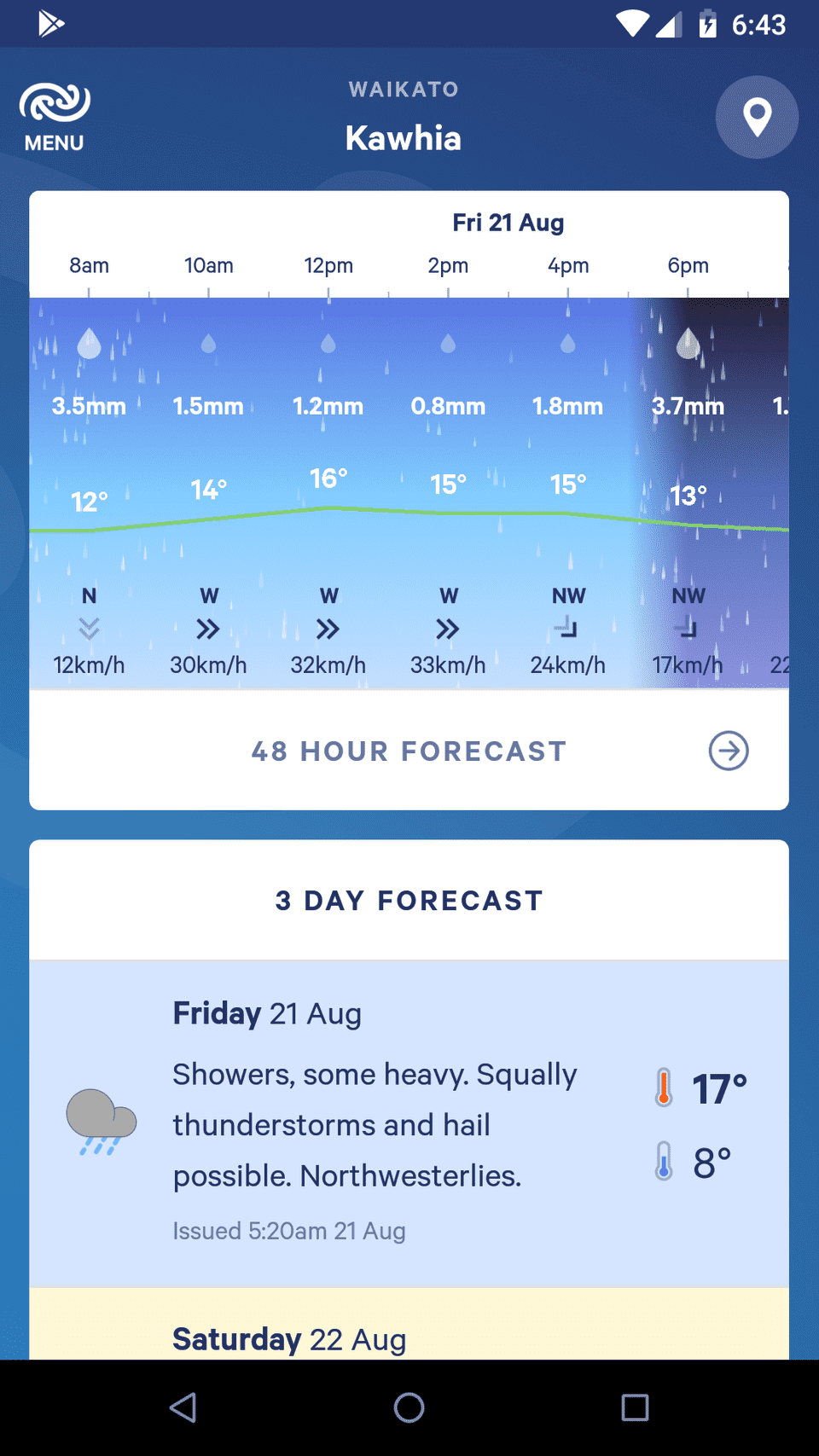
Wanting to make the most of my post Covid bike fitness, I decided to extend the Waikato roads I have travelled on. I prefer round trips and am very happy on gravel so a loop from Otorohanga over the hills toward Kawhai for a pie then back. The weather forecast wasn’t great with the only predicted thing not to appear was the thunderstorms.
There was going to be on a lot of gravel so I took my mountain bike. With the condition of the roads I should have taken my cross bike as it is faster & more comfortable. The ride up Honikiwi Road was pleasant farmland with the real climbing starting after 20km as I hit the bush and the gravel. Intermittent showers kept me cool and as I got onto the tops I started to feel the strong westerly wind. One particularly heavy shower had me sheltering in a roadside ditch under a convenient Mahoe. I try to leave my rain jacket off for as long as possible as sweat gets you as wet as rain on a climb. I have a light weight Ground Effects coat that works well although on one trip in torrential rain I found that when travelling at 55km/hr the water drove in around the hood and eventually got me pretty wet.
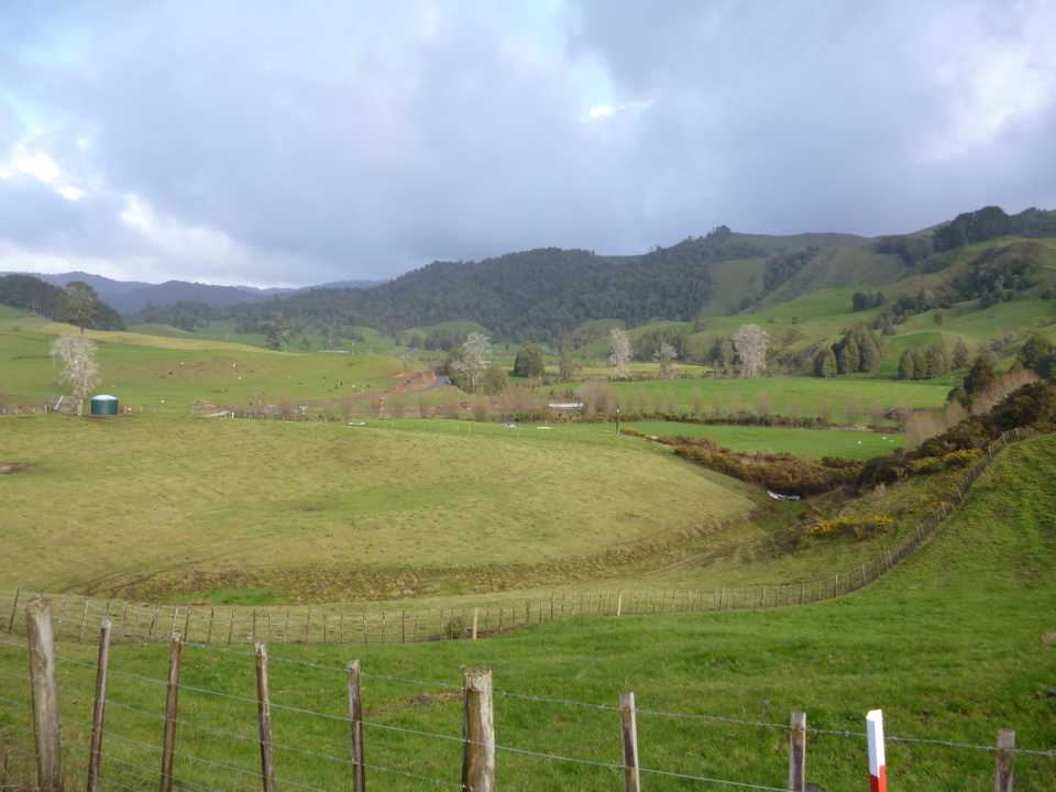
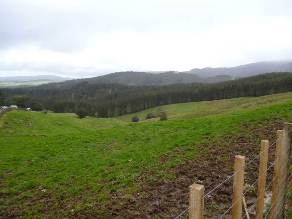
I now headed north along the range that separates the West Coast from the Waikato. This section continued for 15km with 200m to climb to the high point of my ride (550m asl). The bush gave way to farmland with State highway 31 to cross over and some more climbing. It was starting to get quite exposed to the ever increasing gale, at least the rain had abated. There were views over farmland down to Kawhia Harbour and the West Coast then straight ahead Mt Pirongia was under cloud. Rolling farmland, pockets of bush and blocks of pines seems to sum up the scenery for me today and a lot of the North Island in fact.
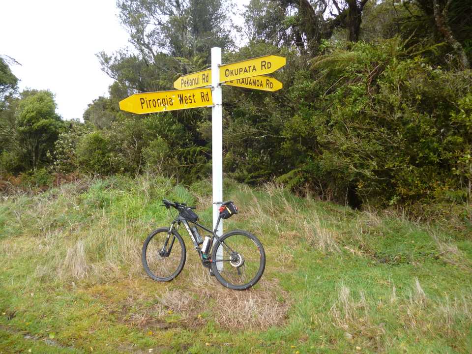
My initial plan had been to ride around under Mt Pirongia on Pirongia West Rd and back for a pie at Oparau. I instead took the shorter option and headed down Okupata Rd with a descent of 500m in the 16km. It was all gravel and into a stiff wind so not as fast as I would have liked.
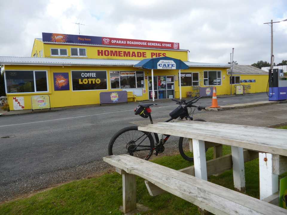
The Oparau Roadhouse is about 14 km from Kawhia and has seen better days but it is a good place to refuel and get out of the wind. Locals were dropping in and out for supplies, from gas bottles to weetbix. Even here there was the odd mask wearer and everyone was pretty good at keeping their distance. The bacon & egg pie was very average and tasted as if it had been in the warmer for too long. There is camping available here but there are a number of signs warning to conserve water and not to fill campers up. No shortage falling from the sky today. They kindly filled my water bottle and as I was only half way I got going again along the State Highway for a few kms until I could turn off and head back to Oto along the back roads.
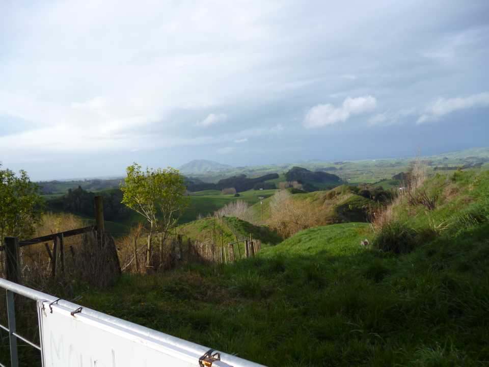
This section while not climbing as high overall had the biggest single climb of over 300m on the loop. The top was where I had turned earlier in the day to head north. I was back on familiar roads but not out of the showers. A nice downhill in torrential rain led onto the usual undulating Waikato roads. The legs were starting to tire and the MTB seat seemed even harder than 6 hours ago. The 101km mark had me topping out on the last hill with views of Kakapuka and my destination. The weather had started to clear as I cruised into Oto to pack my bike and to shed my wet gear to drive home. I’m not an avid stretcher but after a good ride I find it a good idea to give at least give the legs a stretch before I sit in the car for 40 minutes and completely seize up.
Some more nice country traversed, with more red lines on my North Island map.
